
Road Surface Water Monitoring
 In August 2021 Aquasition deployed a flood warning system for Kingston, Sutton and Richmond Councils as part of a South London Partnership InnOvaTe Project.
Kingston, Sutton and Richmond have previously suffered from major surface water flooding which has resulted in critical road infrastructure being closed. The problem is particularly acute within Kingston where flooding can close parts of the ring road system around the town centre.
The monitoring system installed by Aquasition consists of a rainfall warning system, physical devices to monitor road surface conditions and cloud hosted reporting services to provide rainfall warnings and the functionality to view, report and analyse data.
The warning system starts with a hosted data service which provides warnings when forecasted rainfall is predicted to exceed a predetermined level at predefined hotspots, catchments or zones of interest. The system uses rainfall radar-based observations with a 1km grid as well as deterministic and probabilistic forecast data to provide rainfall intensity and depth up to 15 days in advance of the event date. Forecasts are continually updated becoming more accurate as the event date approaches.

Rainfall warnings are configured for each object (hotspot, catchment or zone of interest). Each object has a series of stats. which are continually updated, such as the Nowcast, forecast, flash flood index. If these stats are outside preselected limits a rainfall warning or alert is generated.


Warnings of potential flooding are sent via email and / or SMS to designated individuals or groups allowing resources to be deployed and the public / businesses to be advised.
Events can also be saved allowing historical observations to be obtained from the same data sets.
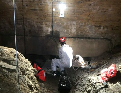
The physical devices consist of battery powered devices which monitor the water levels in the gully pots / soakaways at twenty four locations where road flooding occurs. The sensors detect rising water levels and send these measurements via the NB-IoT wireless network to a cloud hosted service. The Cloud platform allows the client to see water level measurements both within the gullies and on the road surface via an easy-to-use dashboard.
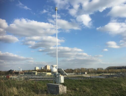
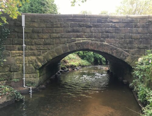
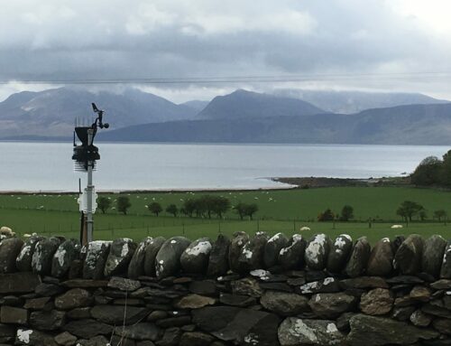
In addition to the water level measurements, physical rainfall measurement is provided via rainfall data from Environment Agency raingauges augmented with two project owned raingauges which fill in gaps in the EA data set. The system also provides access to Environment Agency river level data.
The monitoring system dashboard provides user access to data from all monitoring locations in a single view with colour coded bands to denote status i.e., normal, warning, critical – take action. Graphing functions allow any data entity to be plotted against another entity or multiple entities. Alarm forwarding provides user notification of changes via email or SMS.

The combination of rainfall forecast and surface water data has allowed the client to respond proactively to surface water flooding. The monitoring system also provided insight as to how the highway drainage system responds to flooding which has resulted in further investigation work on the performance of two large soakaways. The project has helped raise the Council’s engagement with local business and the public with regard to surface water flooding.