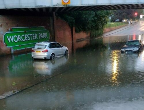
Surface Water Flooding

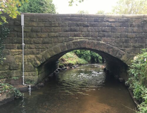
Water Level Monitor
Provision of a system to monitor water levels on critical water courses allowing the local authority to provide emergency response to surface water flooding. The system also provides the added benefits of long term monitoring of rainfall and river levels to assist in catchment modelling and planning.
The system provided consists of water depth monitoring at five critical water courses in the catchment and one rainfall monitoring location. Water levels in the culverts are measured at a predetermined interval and sent via wireless telemetry to a website which provides the client access to the water level data and alarms. The web site also provides forwarding of alarms via SMS and email to multiple recipients, GIS view of site locations and tools to review data.
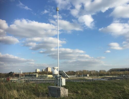
All data loggers are battery powered and use wireless telemetry for communications, allowing for ease of deployment and reduced costs. As a result infrastructure such as power and phone lines are not required. Operational costs are kept to a minimum using low power sensors and high capacity batteries resulting in a battery replacement cycle of circa 5 years.
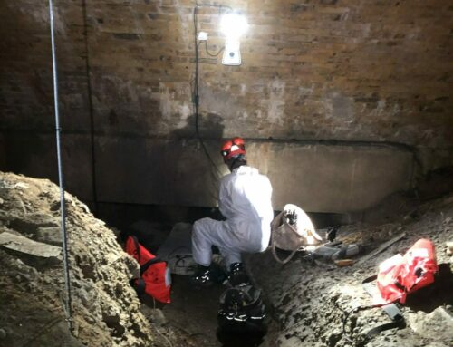
In addition to water levels the loggers can be used to trigger cameras providing either static or video images, giving a visual indication of the site conditions. This is particularly useful for events occurring at night, when sending staff to site may pose a safety risk. Other monitoring applications include the measurement of water quality parameters, such as dissolved oxygen, Turbidity, pH, temperature and prevailing weather measurements such as rainfall, wind speed and direction, temperature, barometric pressure and solar radiation.